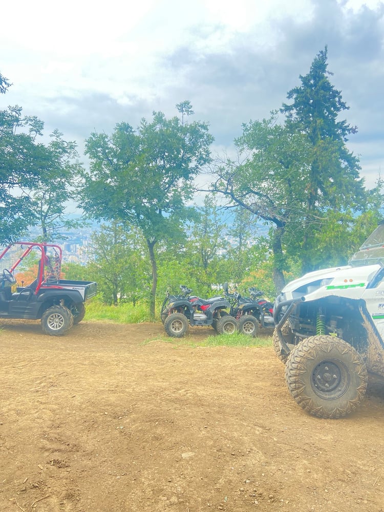
Adolf-Munkel-Weg
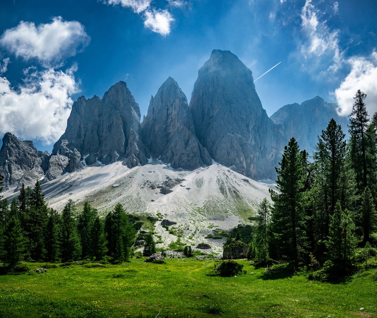
Adolf-Munkel-Weg
Trentino-South Tyrol
where AI
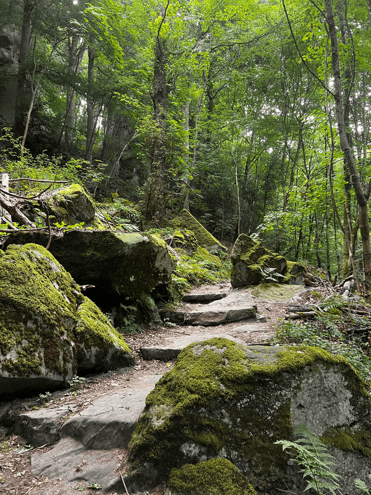
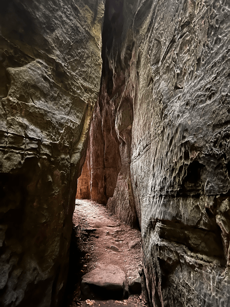
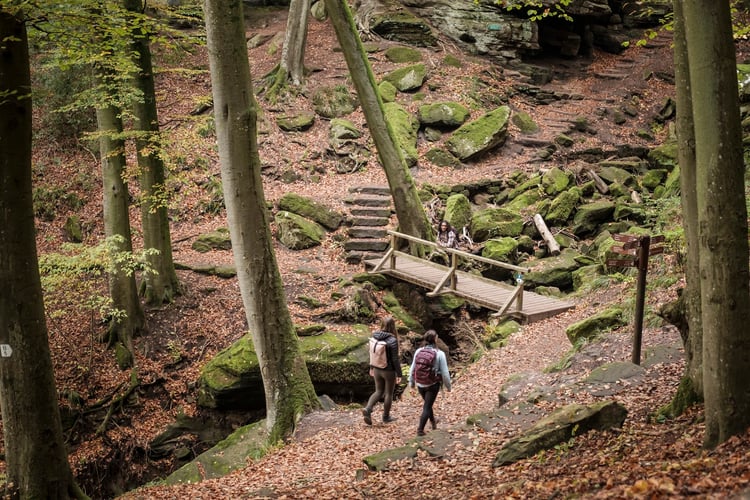
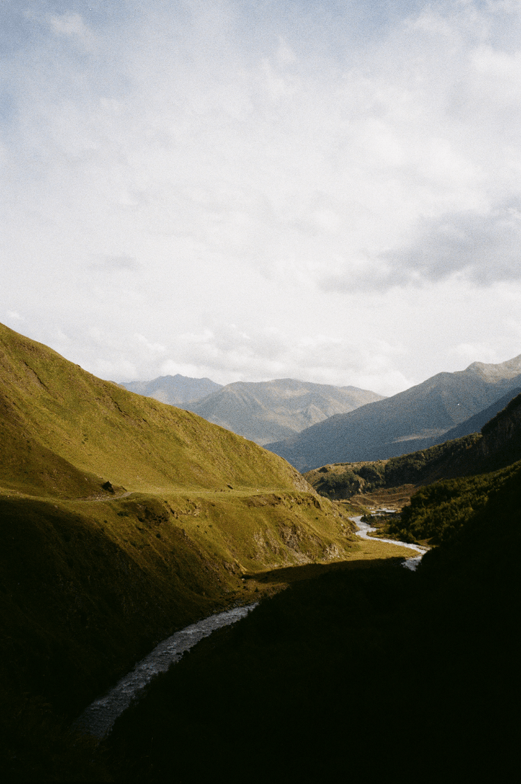
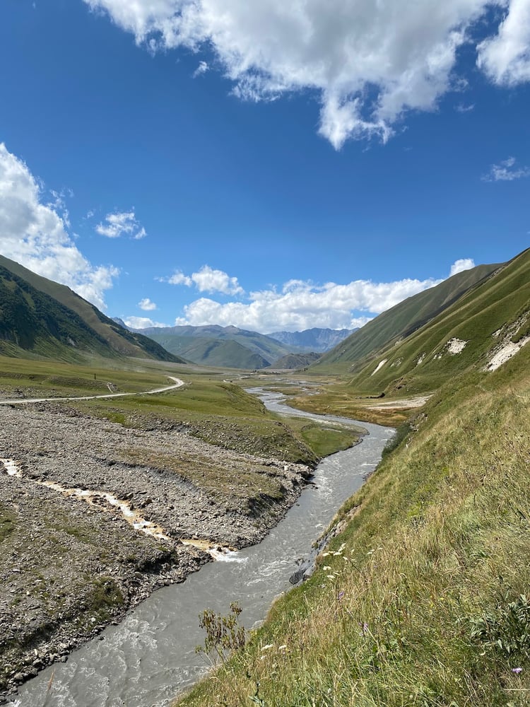
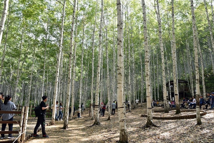
Scenic 19 km loop that winds through dense pine forest up to the foothills of Seceda — moderate difficulty and doable with kids if you pace it. A few rifugios at the end offer great views and meals; reserve parking and expect crowds, bring a map or GPS.
💪Gym
🏔️Scenic
👨👩👧👦Family-friend…
👥Group-friendly
📸Touristy
🅿️Parking
👨👩👧👦All Ages